For more information regarding the value of a property, please contact us for a free consultation.
624 Creek Rd Reliance, TN 37369
Want to know what your home might be worth? Contact us for a FREE valuation!

Our team is ready to help you sell your home for the highest possible price ASAP
Key Details
Sold Price $224,000
Property Type Vacant Land
Listing Status Sold
Purchase Type For Sale
MLS Listing ID 1249539
Sold Date 05/07/24
Originating Board East Tennessee REALTORS® MLS
Lot Size 19.010 Acres
Acres 19.01
Lot Dimensions 1794 x 600 x 1312 x 240
Property Description
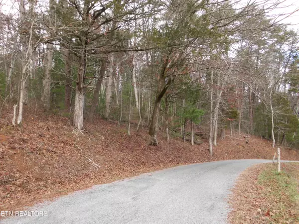
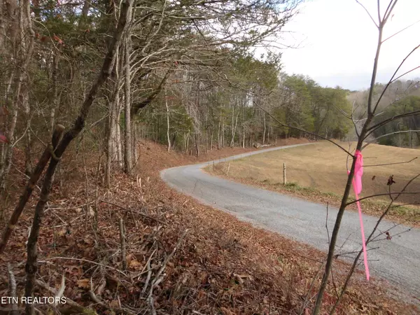
Located in a special area on the eastern flank of Starr Mountain, this 19 acre tract of pristine, fully wooded forest land is now available! This newly surveyed land has a 600' boundary on the Cherokee National Forest on the north, and frontage on Creek Road on the southeast. Creek Road is a paved, county maintained, sparsely traveled road. The location is peaceful! The land is heavily wooded, mostly rolling and offers multiple possible building sites including a spectacular broad, rolling knoll that would offer great privacy and a sweeping view of the surrounding mountains, with some clearing. This location, at the base of Starr Mountain, is conveniently located near Maple Springs Trailhead, from which one can hike or ride for miles on the wonderful trail systems. This property is a a 'blank canvas' awaiting it's artist. Create your estate here! Nothing else like it on the market!
The property boundaries are all flagged with pink flagging tape. There is a rope at the road frontage band with a piece of green flagging tape. There are a few more small pieces of green flagging tape to help guide you to the trail that leads to the superb / best (but not only) potential building site.
This land is unrestricted.
Location
State TN
County Monroe County - 33
Area 19.01
Exterior
View Country Setting, Seasonal Mountain, Wooded
Topography [object Array]
Road Frontage , County, Paved
Garage No
Building
Lot Description Private, Rolling, Wooded, Other
Faces From Tellico Plains take Route 39 W 3.8 mi., left onto Hwy 315 for approx 7 miles, right onto Bullet Creek Road for 1.6 mi., right onto Creek Road .3 mi., property on left with sign.
Others
Restrictions No
Tax ID 174 007.06
Read Less
GET MORE INFORMATION


